
Insights from the Geo-Plus team.
Technical deep dives, workflow guides and honest opinions on reality capture, BIM, cadastre and civil engineering — written by the engineers who build the Vision Suite.

The State of Automatic Point Cloud Classification in 2026
How deep learning has finally made ground, vegetation and building classification a solved problem — and what surveyors should do next.

Scan-to-BIM in Under a Day: A Real Project Walkthrough
A 4,200 m² office renovation from raw scan to LOD 300 Revit model in 6.5 hours using VisionBIM.

The Ministry of Natural Resources keeps its cadastre up to date with VisionCadastre Pro
How one land registry cut parcel update turnaround from 14 days to 48 hours.
LiDAR Software Buyer's Guide 2026
What to evaluate when picking point cloud software — beyond feature checklists.

Field-to-Finish Automation: What Actually Works
A pragmatic look at coding conventions, drafting rules and the 20% of automation that delivers 80% of the value.
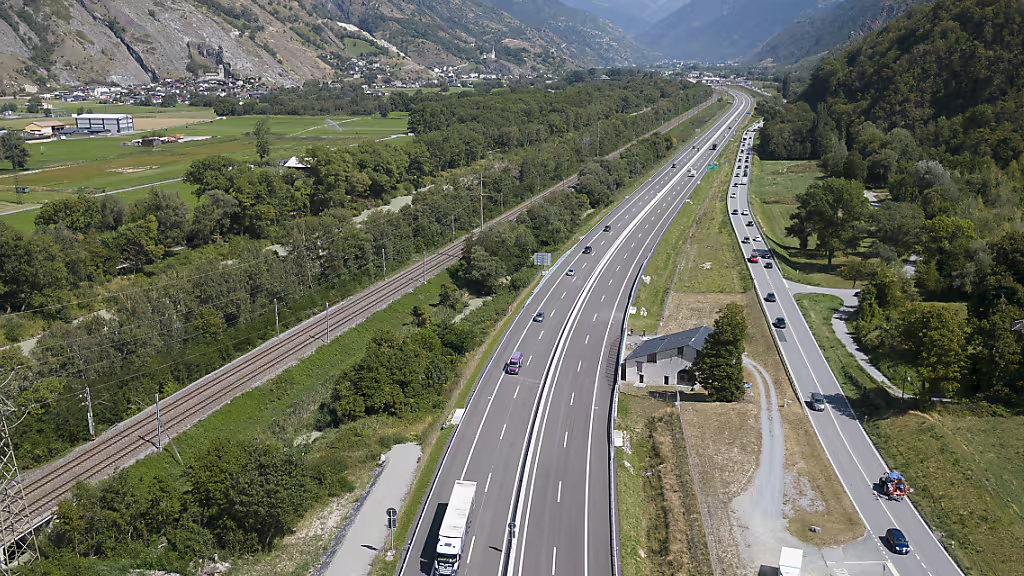
Linear Referencing for Modern Rail Corridors
Why LRS is the backbone of rail asset management — and how VisionLRS makes it approachable.
See Geo-Plus in your workflow.
Book a 30-minute demo with a senior product specialist, tailored to your industry.